pic 41 more wetlands
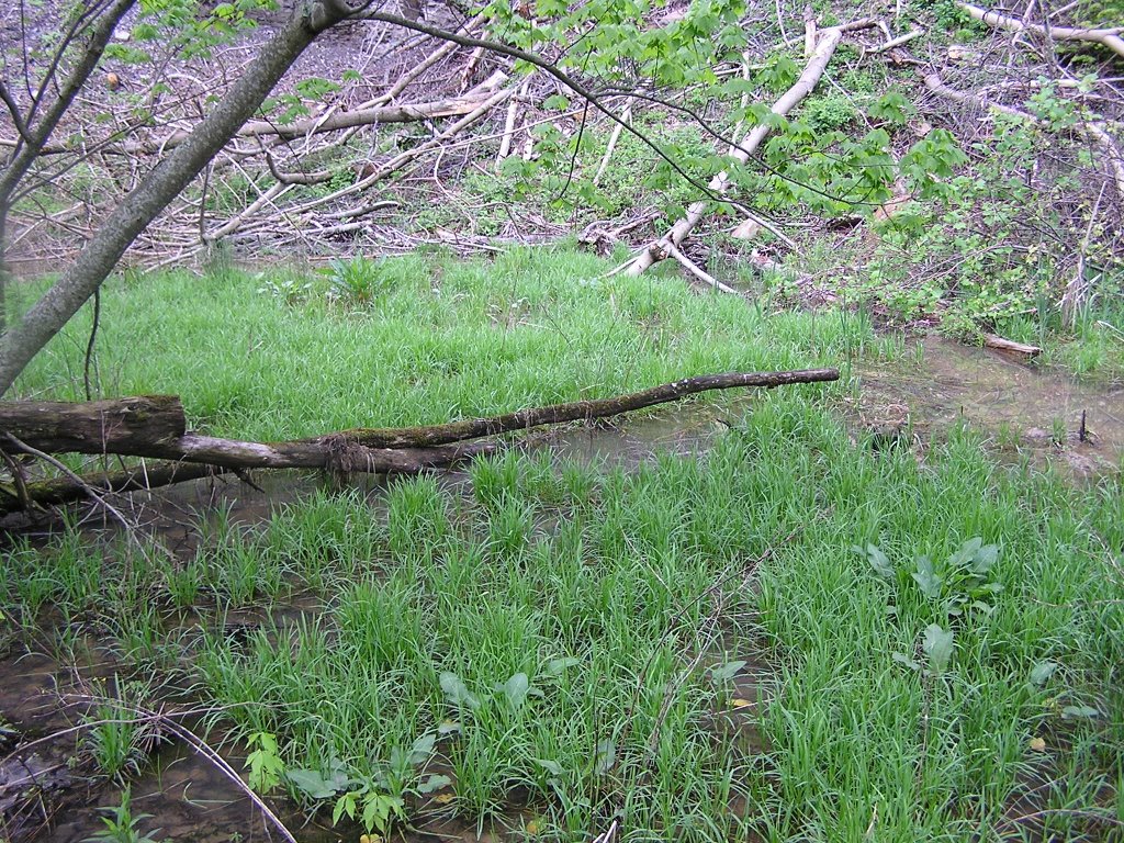
More wetlands in proposed mine area. Don't forget you can tap these photos to make them bigger.
Buckeye Springs Mine 2 Permit Area
From the location just detailed, we walked further up the road. TDEC identified no ARAP areas in this part of the mine and presumably no waters of the state. We found several waters of the state described below.
Location 1
Wetland/ rill area
GPS N 36 32.453, W083 49.835
Nikon 45, 46 – marsh plants are present
Going up the road
Bat habitat logging both sides of ridge – Nikon 47-48
Before and after mining – view from the road along the proposed mining bench Nikon 49
Location 2:
Small Wetland
GPS N 36 32 428, W083 49.840
Olymp 41-42
posted by Chris Irwin @ 6:54 PM
![]()

0 Comments:
Post a Comment
<< Home