pic 5 beaver dam

All the pics on this page right now where shot by "Olymp"=picture numbers.
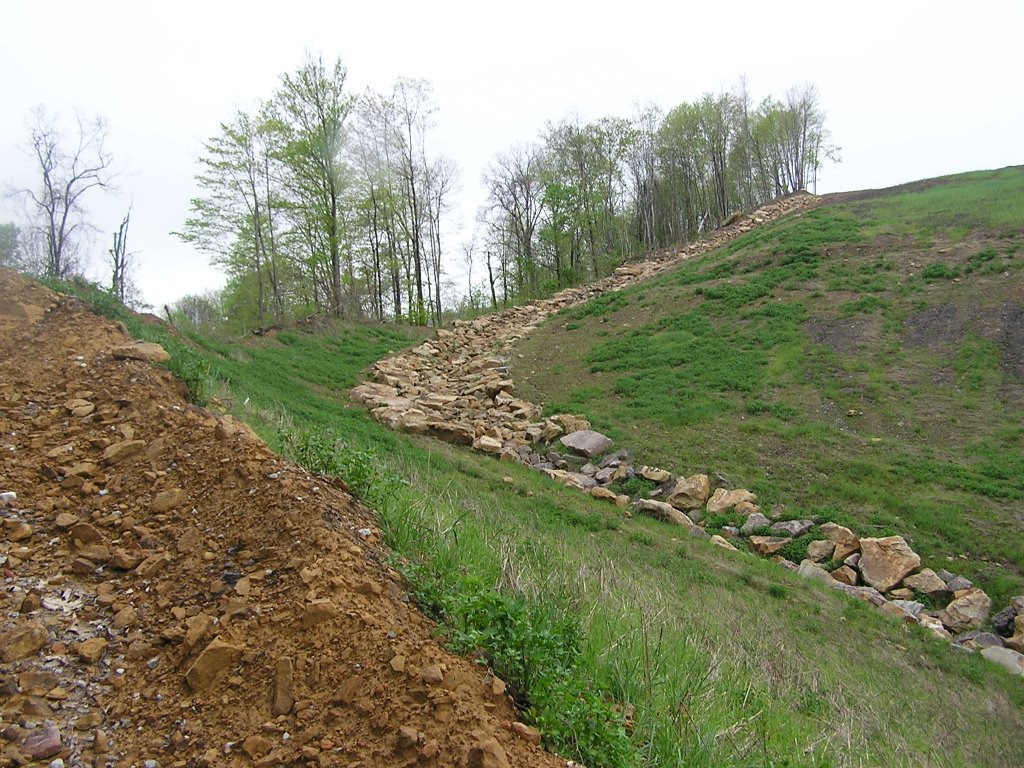
beaver dam about to become a sediment basin under current proposed strip mine.
Basin 10 location
We walked to the opposite side of the pond/pit to the bench where mining is proposed to occur.
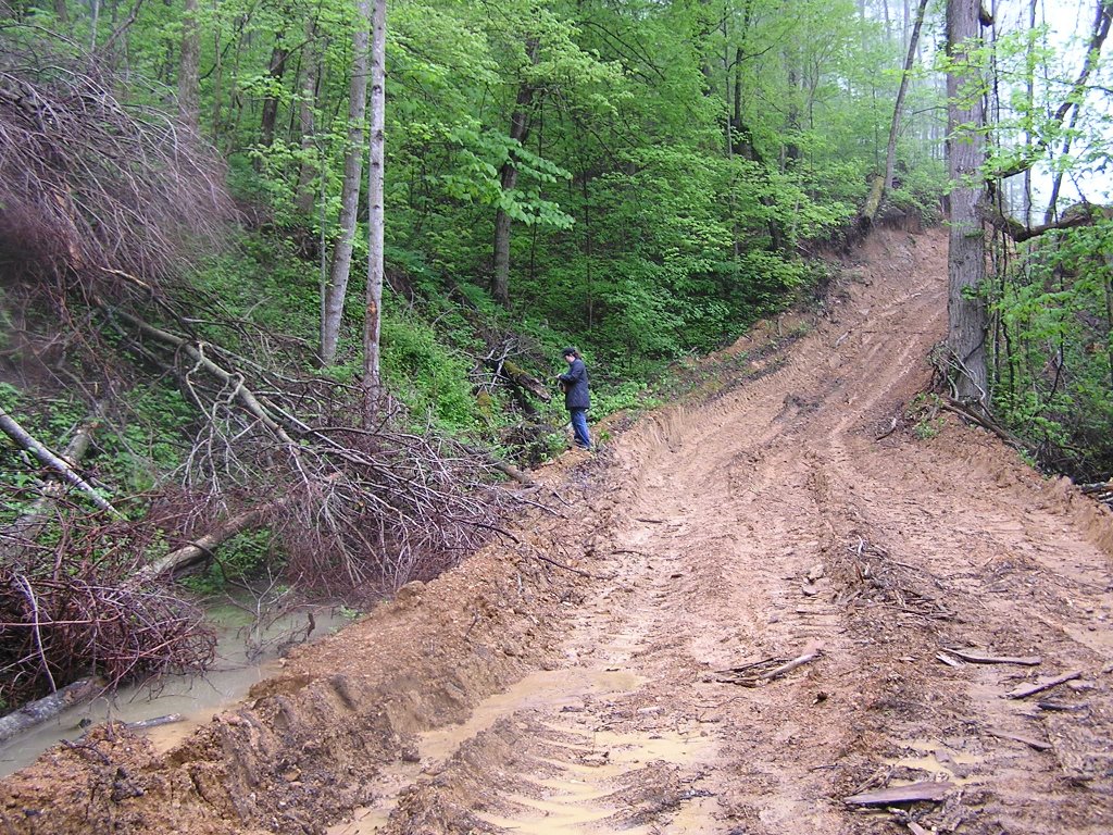
Location 1:
Observation: We found several waters of the State that were not marked by the state. The area of the GPS coordinates was characterized by numerous pools and small seeps.
General GPS location: N 36 32.109, W 083 57.326
Seep 1 – Photos: Olymp 4, Nikon 5
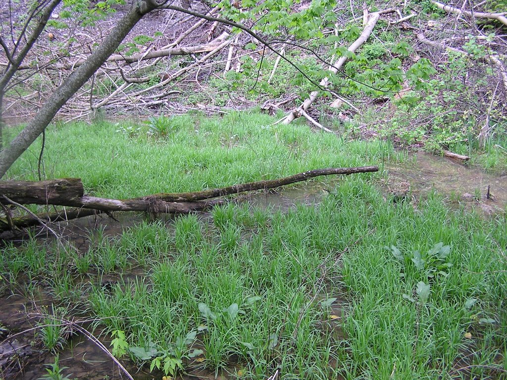
Wetland 1 – Photos: Olymp 5, Nikon 6
Seep 2 (flowing off the high wall) – Nikon 7 and 8
Ephemeral stream – approx beside seep 1
Nikon Picture 9?
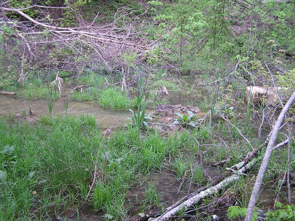
Wetland/seep/ ephemeral stream
- in area of downed trees, close to ephemeral stream
- Nikon Picture 10
Rock Formation on proposed highwall – Nikon pic 11
Pond/ Wetland – feeds into Wetland 1, Nikon Pic 12
posted by Chris Irwin @ 7:48 PM
0 comments
![]()